Village Area Plans
Suffolk 2045
About the Village Area Plans
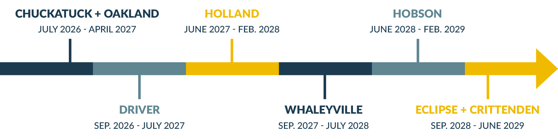
Suffolk's villages are longstanding small towns and neighborhoods formed before Nansemond County and Suffolk merged in 1974. Some, such as Chuckatuck, were established prior to American independence. Each of the villages carry a unique historical identity; their residents face specific challenges, infrastructure needs, and development pressures. Village Area Plans were adopted by the City in the early 2000s. They identified opportunities and improvements for each village but have not been updated. As identified in the Suffolk 2045 Comprehensive Plan, the Village Area Plans are being updated to facilitate long-term decision making for Suffolk’s historic villages. The village areas include Chuckatuck-Oakland, Driver, Holland, Whaleyville, Hobson, and Eclipse-Crittenden. An approximate schedule for each area plan is illustrated below.
Chuckatuck-Oakland Survey
To help identify the community's vision for Chuckatuck-Oakland, a survey is available now through the end of November. Please take a few moments to help share your input by taking the survey at the link below.
Chuckatuck + Oakland
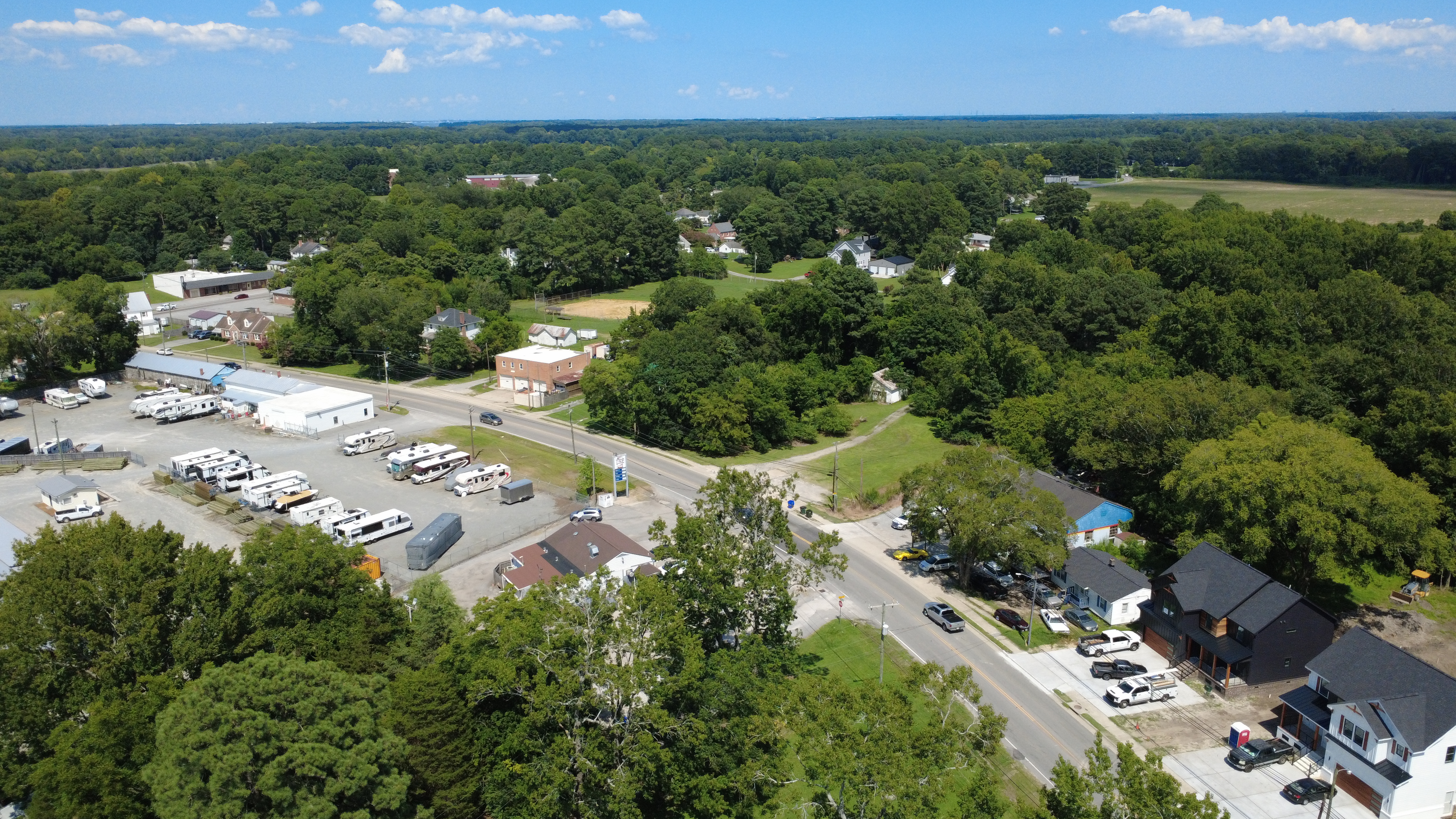
Chuckatuck is one of the earliest settlements in Suffolk, located at the headwaters of Chuckatuck Creek. The name has Native American origins and means "crooked creek." Many planters settled in the fertile farmlands of Northern Nansemond County (now Suffolk), around the village of Chuckatuck. The community of Oakland is connected to Chuckatuck along Route 10. Oakland shares deep colonial and agrarian roots with Chuckatuck. It's a historic African American waterman and farming village established in the early 19th century.
Driver
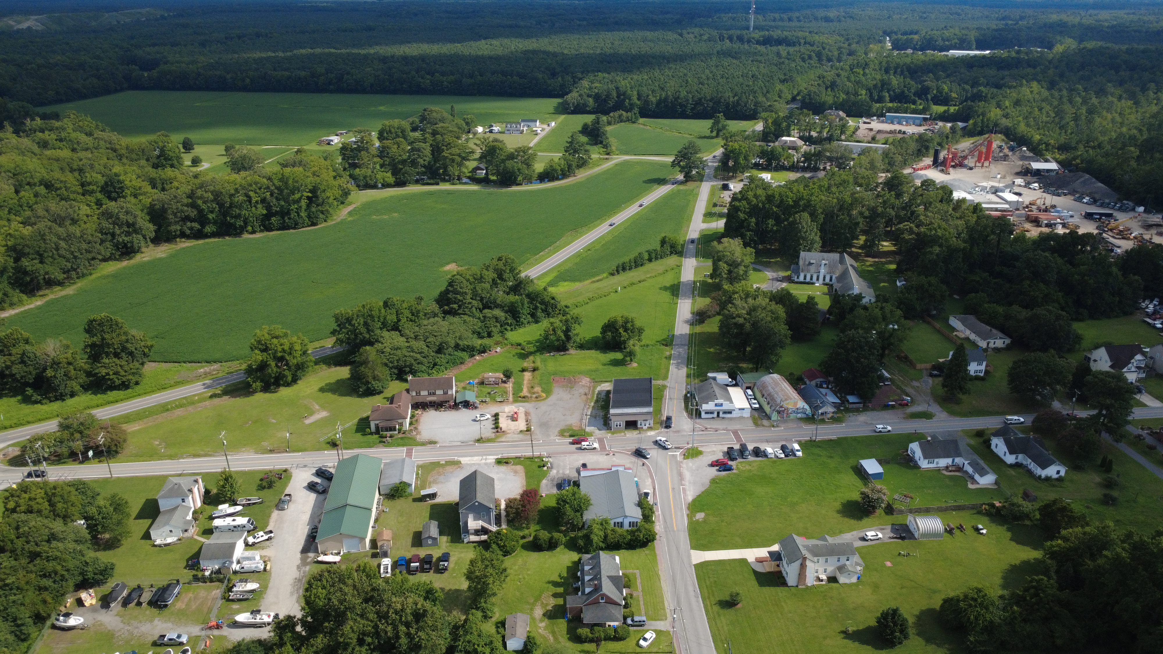
Driver developed in the eighteenth century as a crossroads trading center at the intersection of two important roads, the Suffolk-Portsmouth Road and the King's Highway, which connected Norfolk and Richmond. In the eighteenth century, Driver was a stop along the stagecoach route that ran along Suffolk-Portsmouth Road. In the early twentieth century, the arrival of rail service caused Driver to evolve into a growing commercial center. Today, the village retains its rural character and historic integrity but has experienced notable growth.
Holland
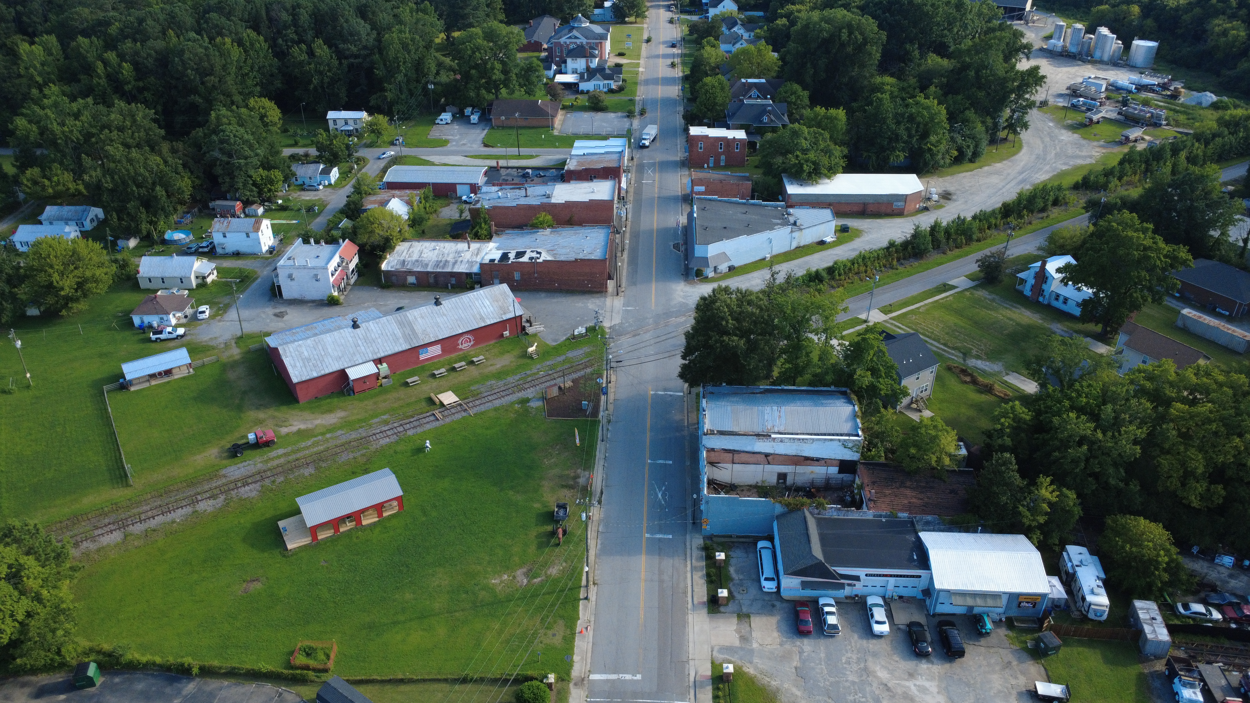
Holland, previously Holland's Corner, was settled in the seventeenth century when land grants were made available to various members of the Holland family. As the community of Holland grew, it became a popular stopping place for stagecoaches carrying guests and mail along the east-west route that ran through nearby Suffolk. It remained a crossroads trading center when the Atlantic and Danville Railroad came through the area. The village then gained its significance as the largest town next to Suffolk in the former Nansemond County.
Whaleyville
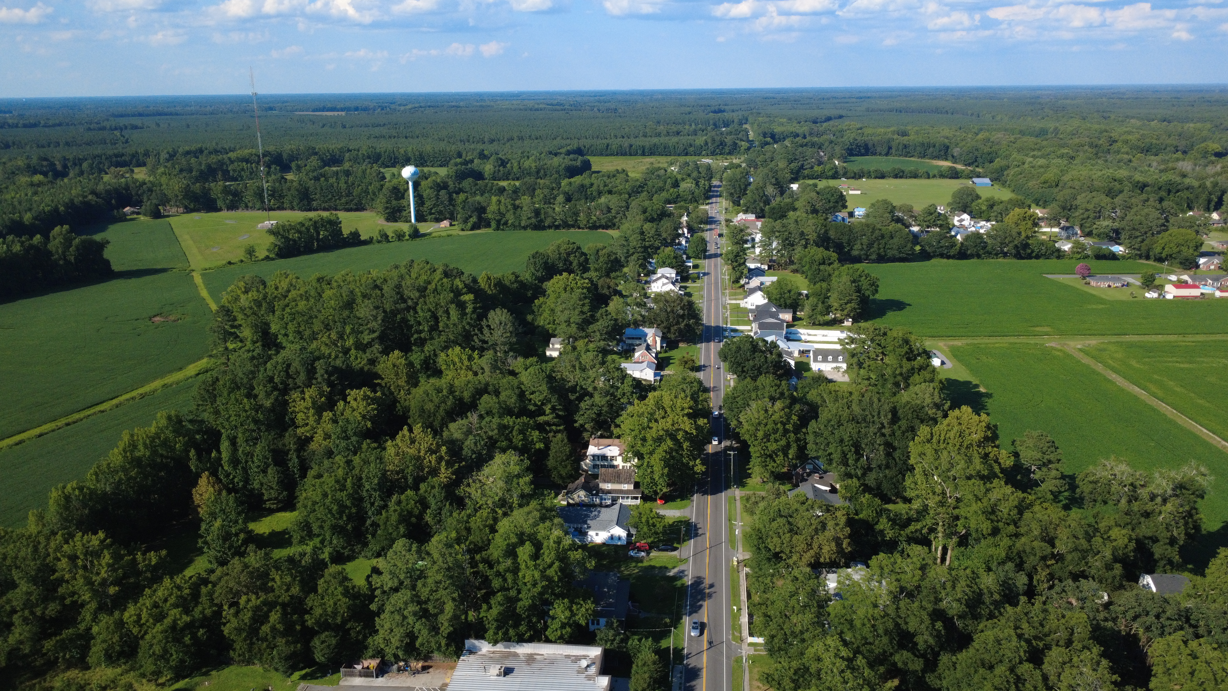
Whaleyville developed around timber, rail transportation, and the sawmill enterprise that gave the community its name. Samuel Whaley purchased a farm here in 1877 and established a sawmill, but the major growth of the town and the lumbering industry occurred after Whaley sold the timber rights of his land to the Jackson Brothers in Maryland. The village grew rapidly between 1880 and 1920, when the lumber industry brought workers, families, stores, churches, a school, and other businesses to the area. The mill closed in 1919 and the village depended on trade with the surrounding agricultural community.
Hobson
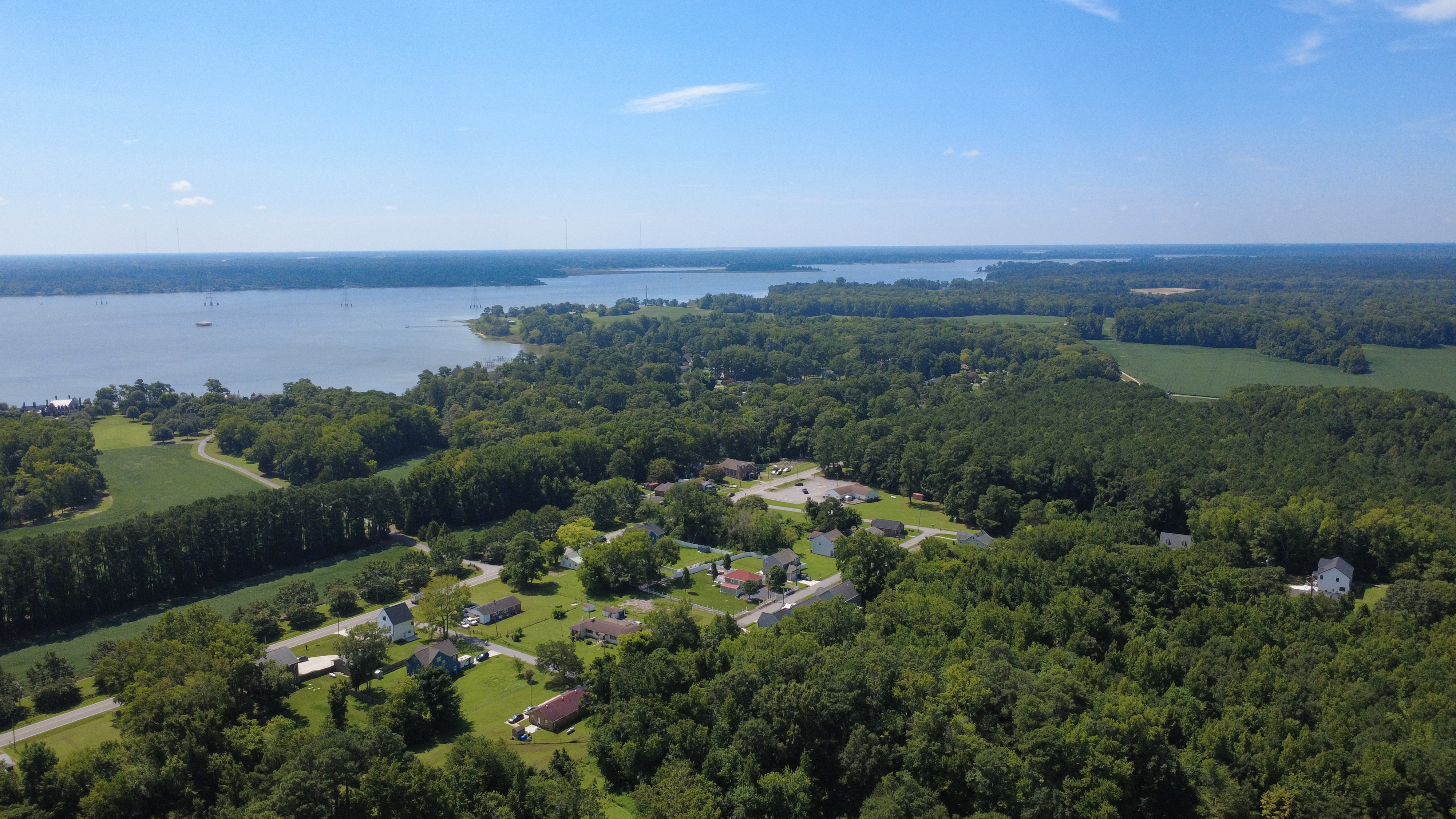
At the close of the American Civil War, African-Americans fled the Virginia Peninsula between the James and York rivers and settled in present day Suffolk. By 1870, the African-American oystermen had planted themselves and their families on the Peninsula between Chuckatuck Creek and the Nansemond River (present day Hobson) and drew a livelihood from the water. By 1900, the original settlement had grown to a community of nearly 60 African-American households. Hobson's heyday was in the 1920s and 1930s and it gradually declined as a self-sufficient oyster village in the years following WWII.
Eclipse + Crittenden
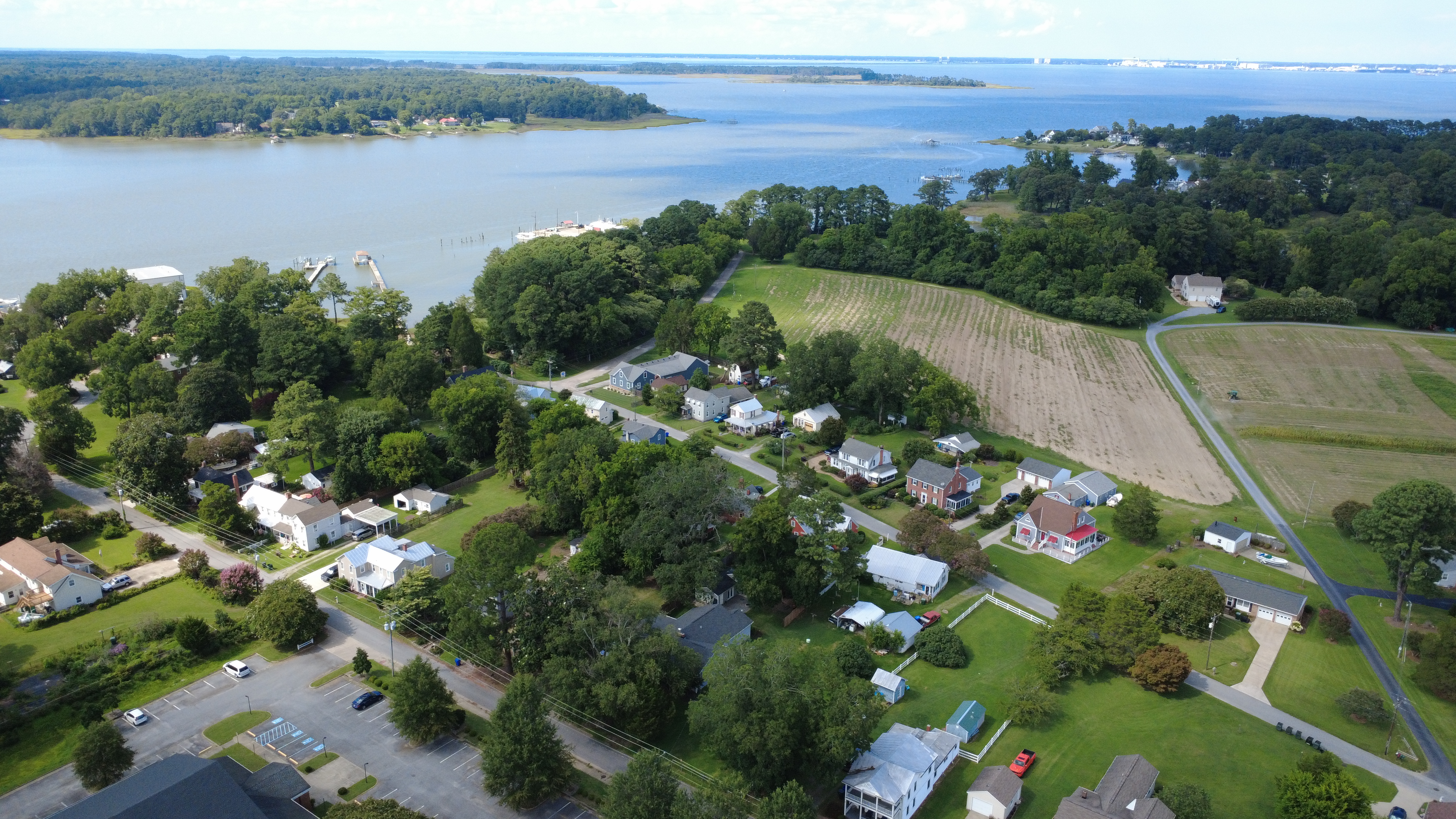
Eclipse and Crittenden sit on a peninsula defined by the Nansemond River, Chuckatuck Creek, and James River. The area developed as an isolated fishing and farming settlement beginning in the 1630s. Isolation helped create a distinctive village character that still exists today. Rather than laid out around a town center, the community grew incrementally along roads, waterways, docks, farms, and homes. The area's history is tied to fishing, crabbing, oystering, boatbuilding, farming, and trade. Eclipse was once part of the Crittenden community but as populations grew, residents needed another post office and Eclipse was settled.
Map Viewer
City of Suffolk
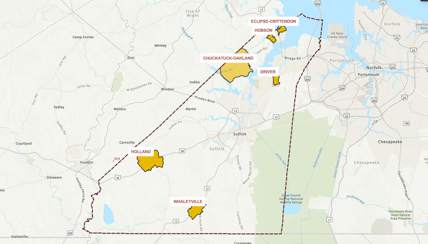 Click the button below to explore the Study Area limits for each Village Area Plan.